Surveying
Efficient without disruptions
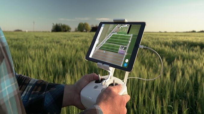
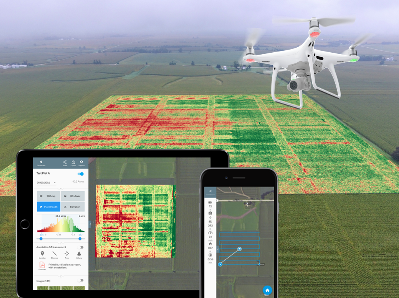
Using the latest software and remotely piloted aircraft systems, we are able to accurately produce hybrid maps and survey data for your farm, fields or refuse centres.
View your interactive maps & data from anywhere
All survey data will be made available through our cloud platform where you can remotely access from any internet connection to view and interactively assess your fields coverage, farm crops or volumes of garbage, excavation potential availability at the refuse centre.
Servicing private & council sectors
Both private and public facilities can take advantage of this service, allowing weekly or monthly activity updates depending on frequency required.


